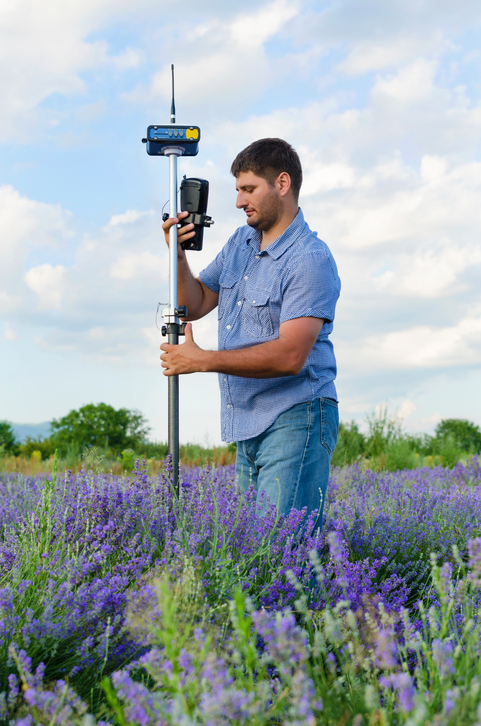
In the past, travelers used tools like a sextant or astrolabe to calculate their position on Earth. Today, we have the use of a Global Positioning System or GPS. The GPS is a system of 24 operational satellites orbiting Earth that send signals to the handheld GPS receivers with which you are probably familiar. The satellites include a very precise atomic clock as well as devices to send and receive radio signals. The receiver that is used on the ground has a less accurate clock and devices to receive radio signals.
The signals sent by the satellites travel at a known speed, and each satellite “knows” its own location. When a signal arrives at the receiver, the time it was sent is compared to the time received in order to calculate the distance between the satellite and the receiver. By using at least three (usually four) satellite signals to communicate with a single, hand-held receiver, a precise location is given. GPS technology is becoming more common with each passing year. Once only available to the military, it is now used by utility and phone companies to locate their underground lines as well as hunters and people who like to fish when they return to a favorite spot.
Now that you have your GPS and knowledge of longitude and latitude, you should be able to pinpoint your exact location on the globe, right? Well, not quite. Degrees of longitude and latitude alone are not precise enough to pinpoint any location. For each degree of latitude, you would travel about 69 miles on Earth’s surface (not accounting for the local terrain). That may sound easy enough, but longitude complicates the matter. Remember that lines of longitude get closer and closer together as they head for the poles where they meet. At the equator (0° latitude) there are about 69 miles between each degree of longitude, but by the time you reach 45° N or 45° S, there are only about 49 miles between them. When you reach the pole (North or South), there is no distance between them because that is where they meet. With that in mind, if you give your location only in terms of degrees of latitude and longitude, 45° N and 98° W for example, that only gets a traveler to within several miles of your exact location.

Thankfully, geography has an answer! Each degree is broken down into sixty minutes, and each minute, in turn, is divided into sixty seconds. If you are at, or near, the equator, having coordinates with minutes would bring you within just over a mile of the exact location. A longitude/latitude coordinate with minutes looks like this: 45°30’ N, 98°14’ W. If you are looking for a town or house, degrees and minutes may be enough to get you where you want to go. If you are looking for something harder to see with the naked eye, then you’ll need to specify your location to the second. By using a degree, minute, second coordinate, you should be able to get within less than one hundred feet of the location you seek. A coordinate using seconds would look like this: 45°30’14” N, 98°14’55” W. Most GPS receivers available today can provide information about your location down to the minute or second, depending upon the model.
If you don’t have access to a GPS receiver, you can still get a rough estimate of your absolute location by looking at a map with latitude and longitude identified. First, find your home on a map, and then find the nearest lines of latitude and of longitude. If your location is between two lines, choose the lower number. You can also estimate minutes. Since there are 60 minutes in each degree, if your location is about halfway between two lines, you can safely estimate it to be 30 minutes. If it is two-thirds of the way to the next highest line, you can safely estimate it to be 40 minutes, and so on.
