Locating Places
How do you find places on a map?
Goal:
Goal:

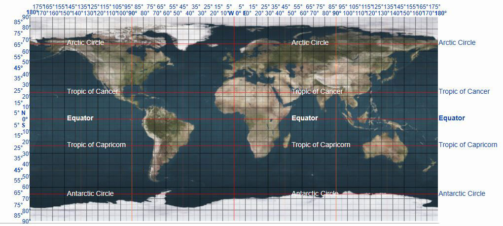
In this lesson, you will learn about the grid coordinate system that is used to identify exact locations on a map.
Every place on Earth has a set of numbers that identifies its location using this grid system. Those numbers are a location's latitude and longitude coordinates.
![]() Click image to enlarge.
Click image to enlarge.
By based on map by jimht at shaw dot ca - modification of Image:Earthmap1000x500.jpg, Copyrighted free use, Link
A location's latitude and longitude coordinates can be used to plot the point on a map. This point is known as a place's absolute, or exact location.
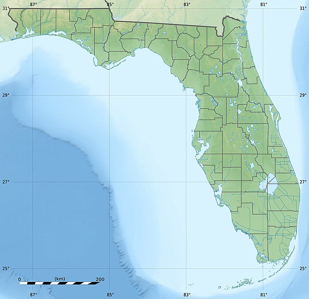
The grid coordinate system allows you to see the latitude and longitude lines to locate places on a map. Look at the map of Florida and find Miami.
The coordinates for Miami, Florida, are 25.7617° N, 80.1918° W. If you were to plot those coordinates on a map, you would first look at the latitude grid line and go up between 25° and 27°.
Then you would look for the longitude lines and go to the right of 81° around halfway. You can plot your point where the two coordinates meet and that should be about where Miami is located.
|
Click to reveal Miami's location. 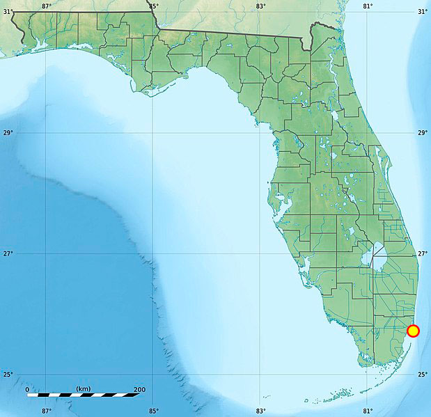
This next map is of Texas. 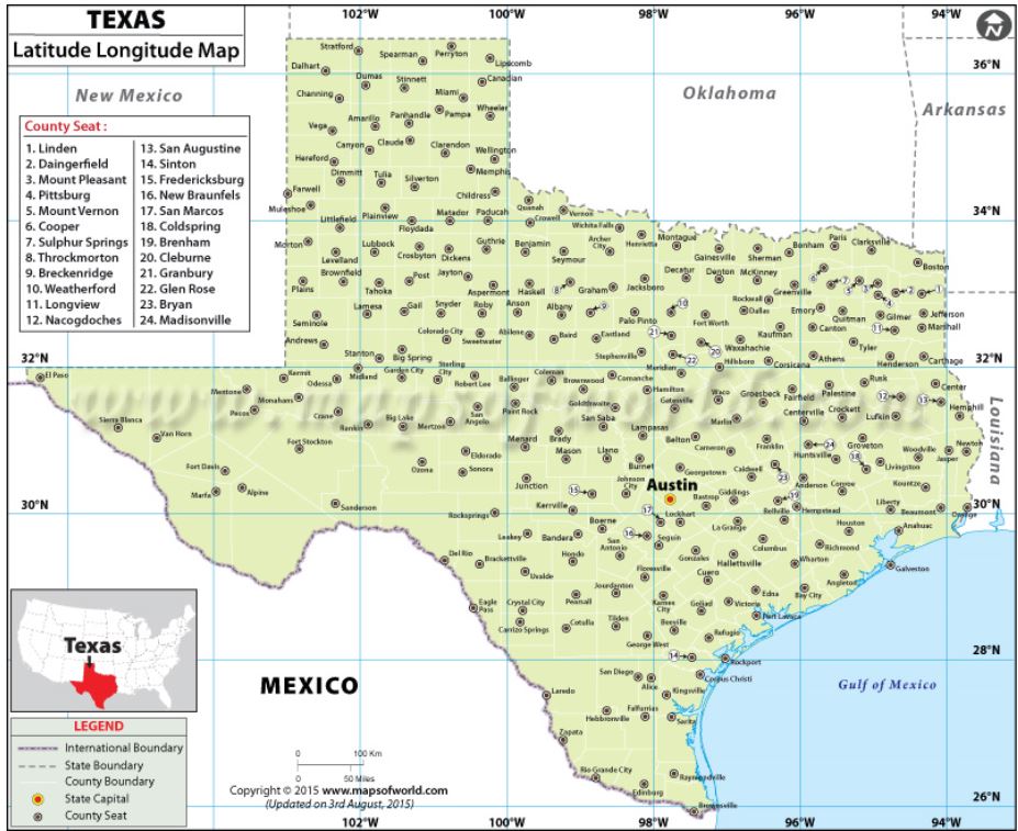
You can see the grid lines and the latitude and longitude degrees. These will allow you to find a location on this map. |
Question
What city is located at 30.2672° N, 97.7431° W?
Austin, Texas