Townships and Family Plots
How did the government divide the land in the Northwest Territory?
Goal:
Goal:
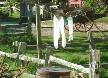 One reason there were so many land disputes was that settlers would simply claim the piece of land they wanted. The boundary lines were not clear, and their property often had a strange shape because they tried to claim only the best parts of the land, leaving out swamps, steep slopes, or land that wasn't usable for some other reason.
To describe where their land was, settlers would say something like, "From the big, black rock, run a straight line to the southwest, as far as the tree stump, and then angle toward the barn." But what if the barn burned down or brush grew up over the tree stump? Then the boundary would be impossible to find!
To settle some of the arguments and to raise money, in 1787 Congress divided up the Northwest Territory into squares. Each square was 6 miles on each side and was called a township. Each township was divided into 36 smaller sections of 640 acres (1 square mile). Then, each section was sold, sometimes for as little as $1 per acre.
If you are not sure how much land is in an acre, ask an adult to show you a piece of land that is a 1/2 acre or 1 acre. Or, to give you a better idea, an American football field is a little bigger than 1 acre.
A dollar per acre may not sound like very much, but in those days, most people didn't have enough money to spend $640 on a piece of land. Wealthy companies bought these 640-acre sections of land and sold smaller pieces of land, or plots, to families. Some of the money collected from the purchase of the land was used to establish schools for the children.