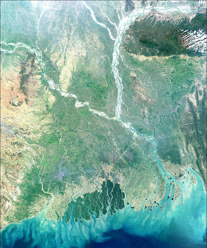
Most of Bangladesh is an enormous delta formed by three powerful rivers—the Ganges, the Brahmaputra, and the Meghna (MAYG nuh).
As a result of this huge delta, the soil is very fertile. However, because the country is so close to sea level, floods are a regular occurrence.
The climate of Bangladesh is primarily tropical wet, and temperatures rarely drop below 80°F (27°C). Because of the monsoon winds, large amounts of rain fall within a four- to five-month period.
The climate and geography of Bangladesh create a delicate balance between prosperity and disaster. In good times, the warm temperatures, abundant water supply, and fertile soil enable farmers to plant and harvest three crops a year. In bad times, the raging rivers overflow, and fierce tropical storms sweep in from the Bay of Bengal, submerging the land in salt water.
Record monsoon rains lashed at Bangladesh in 1989 and 1990, causing severe flooding. Millions of people were rendered homeless; power lines were knocked down; and roads, bridges, and railway lines were washed away. Transporting food and medicine from one part of the country to another proved almost impossible.
These successive disasters forced the government of Bangladesh to seek a lasting solution to the chronic flooding. The first phase of a Flood Action Plan was launched in the early 1990s, funded with the help of the international aid community. The goal was to identify ways to lessen the effects of flooding and to improve disaster management and relief.